
diff options
| author | CoprDistGit <infra@openeuler.org> | 2023-05-10 08:10:32 +0000 |
|---|---|---|
| committer | CoprDistGit <infra@openeuler.org> | 2023-05-10 08:10:32 +0000 |
| commit | 71bf78e8c5a56cb8eeed1040231309263de9ed11 (patch) | |
| tree | fced0c912e46868e53a629f1a8c1ca4b1883c0be | |
| parent | ffb499928801675781ba16b973a4516bcd54a51a (diff) | |
automatic import of python-geojsoncontour
| -rw-r--r-- | .gitignore | 1 | ||||
| -rw-r--r-- | python-geojsoncontour.spec | 331 | ||||
| -rw-r--r-- | sources | 1 |
3 files changed, 333 insertions, 0 deletions
@@ -0,0 +1 @@ +/geojsoncontour-0.4.0.tar.gz diff --git a/python-geojsoncontour.spec b/python-geojsoncontour.spec new file mode 100644 index 0000000..db6f0e1 --- /dev/null +++ b/python-geojsoncontour.spec @@ -0,0 +1,331 @@ +%global _empty_manifest_terminate_build 0 +Name: python-geojsoncontour +Version: 0.4.0 +Release: 1 +Summary: Convert matplotlib contour plots to geojson +License: MIT +URL: http://github.com/bartromgens/geojsoncontour +Source0: https://mirrors.nju.edu.cn/pypi/web/packages/32/79/916b4de820ba7aa7d09c4a189056521ee968996f68ab42fb46278f196855/geojsoncontour-0.4.0.tar.gz +BuildArch: noarch + +Requires: python3-geojson +Requires: python3-numpy +Requires: python3-matplotlib +Requires: python3-xarray + +%description +# geojsoncontour +[](https://travis-ci.org/bartromgens/geojsoncontour) [](https://badge.fury.io/py/geojsoncontour) [](https://coveralls.io/github/bartromgens/geojsoncontour?branch=master) +A Python 3 module to convert matplotlib contour plots to geojson. Supports both contour and contourf plots. + +Designed to show geographical [contour plots](http://matplotlib.org/examples/pylab_examples/contour_demo.html), +created with [matplotlib/pyplot](https://github.com/matplotlib/matplotlib), as vector layer on interactive slippy maps like [OpenLayers](https://github.com/openlayers/ol3) and [Leaflet](https://github.com/Leaflet/Leaflet). + +Demo project that uses geojsoncontour: [climatemaps.romgens.com](http://climatemaps.romgens.com) + +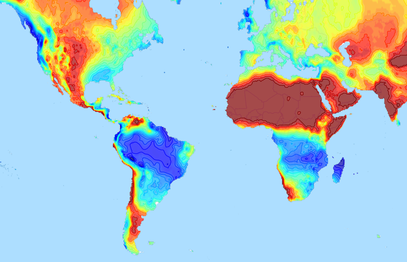 + +## Installation +Install with pip, +``` +pip install geojsoncontour +``` + +## Usage + +Use `contour_to_geojson` to create a geojson with contour lines from a `matplotlib.contour` plot (not filled). +Use `contourf_to_geojson` to create a geojson with filled contours from a `matplotlib.contourf` plot. + +### Contour plot to geojson +```python +import numpy +import matplotlib.pyplot as plt +import geojsoncontour + +# Create contour data lon_range, lat_range, Z +<your code here> + +# Create a contour plot plot from grid (lat, lon) data +figure = plt.figure() +ax = figure.add_subplot(111) +contour = ax.contour(lon_range, lat_range, Z, cmap=plt.cm.jet) + +# Convert matplotlib contour to geojson +geojson = geojsoncontour.contour_to_geojson( + contour=contour, + ndigits=3, + unit='m' +) +``` +For filled contour plots (`matplotlib.contourf`) use `contourf_to_geojson`. +See [example_contour.py](examples/example_contour.py) and [example_contourf.py](examples/example_contourf.py) for simple but complete examples. + +### Show the geojson on a map +An easy way to show the generated geojson on a map is the online geojson renderer [geojson.io](http://geojson.io) or [geojson.tools](http://geojson.tools). + +### Style properties +Stroke color and width are set as geojson properties following https://github.com/mapbox/simplestyle-spec. + +### Create geojson tiles +Try [geojson-vt](https://github.com/mapbox/geojson-vt) or [tippecanoe](https://github.com/mapbox/tippecanoe) if performance is an issue and you need to tile your geojson contours. + + +## Development + +### Tests + +Run all tests, +``` +python -m unittest discover +``` + +### Release + +Install setuptools, wheel and twine: +``` +python -m pip install --upgrade setuptools wheel twine +``` + +Increase the version number in `setup.py`. + +Create dist: +``` +python setup.py sdist bdist_wheel +``` + +Upload: +``` +twine upload dist/* +``` + + + + +%package -n python3-geojsoncontour +Summary: Convert matplotlib contour plots to geojson +Provides: python-geojsoncontour +BuildRequires: python3-devel +BuildRequires: python3-setuptools +BuildRequires: python3-pip +%description -n python3-geojsoncontour +# geojsoncontour +[](https://travis-ci.org/bartromgens/geojsoncontour) [](https://badge.fury.io/py/geojsoncontour) [](https://coveralls.io/github/bartromgens/geojsoncontour?branch=master) +A Python 3 module to convert matplotlib contour plots to geojson. Supports both contour and contourf plots. + +Designed to show geographical [contour plots](http://matplotlib.org/examples/pylab_examples/contour_demo.html), +created with [matplotlib/pyplot](https://github.com/matplotlib/matplotlib), as vector layer on interactive slippy maps like [OpenLayers](https://github.com/openlayers/ol3) and [Leaflet](https://github.com/Leaflet/Leaflet). + +Demo project that uses geojsoncontour: [climatemaps.romgens.com](http://climatemaps.romgens.com) + + + +## Installation +Install with pip, +``` +pip install geojsoncontour +``` + +## Usage + +Use `contour_to_geojson` to create a geojson with contour lines from a `matplotlib.contour` plot (not filled). +Use `contourf_to_geojson` to create a geojson with filled contours from a `matplotlib.contourf` plot. + +### Contour plot to geojson +```python +import numpy +import matplotlib.pyplot as plt +import geojsoncontour + +# Create contour data lon_range, lat_range, Z +<your code here> + +# Create a contour plot plot from grid (lat, lon) data +figure = plt.figure() +ax = figure.add_subplot(111) +contour = ax.contour(lon_range, lat_range, Z, cmap=plt.cm.jet) + +# Convert matplotlib contour to geojson +geojson = geojsoncontour.contour_to_geojson( + contour=contour, + ndigits=3, + unit='m' +) +``` +For filled contour plots (`matplotlib.contourf`) use `contourf_to_geojson`. +See [example_contour.py](examples/example_contour.py) and [example_contourf.py](examples/example_contourf.py) for simple but complete examples. + +### Show the geojson on a map +An easy way to show the generated geojson on a map is the online geojson renderer [geojson.io](http://geojson.io) or [geojson.tools](http://geojson.tools). + +### Style properties +Stroke color and width are set as geojson properties following https://github.com/mapbox/simplestyle-spec. + +### Create geojson tiles +Try [geojson-vt](https://github.com/mapbox/geojson-vt) or [tippecanoe](https://github.com/mapbox/tippecanoe) if performance is an issue and you need to tile your geojson contours. + + +## Development + +### Tests + +Run all tests, +``` +python -m unittest discover +``` + +### Release + +Install setuptools, wheel and twine: +``` +python -m pip install --upgrade setuptools wheel twine +``` + +Increase the version number in `setup.py`. + +Create dist: +``` +python setup.py sdist bdist_wheel +``` + +Upload: +``` +twine upload dist/* +``` + + + + +%package help +Summary: Development documents and examples for geojsoncontour +Provides: python3-geojsoncontour-doc +%description help +# geojsoncontour +[](https://travis-ci.org/bartromgens/geojsoncontour) [](https://badge.fury.io/py/geojsoncontour) [](https://coveralls.io/github/bartromgens/geojsoncontour?branch=master) +A Python 3 module to convert matplotlib contour plots to geojson. Supports both contour and contourf plots. + +Designed to show geographical [contour plots](http://matplotlib.org/examples/pylab_examples/contour_demo.html), +created with [matplotlib/pyplot](https://github.com/matplotlib/matplotlib), as vector layer on interactive slippy maps like [OpenLayers](https://github.com/openlayers/ol3) and [Leaflet](https://github.com/Leaflet/Leaflet). + +Demo project that uses geojsoncontour: [climatemaps.romgens.com](http://climatemaps.romgens.com) + + + +## Installation +Install with pip, +``` +pip install geojsoncontour +``` + +## Usage + +Use `contour_to_geojson` to create a geojson with contour lines from a `matplotlib.contour` plot (not filled). +Use `contourf_to_geojson` to create a geojson with filled contours from a `matplotlib.contourf` plot. + +### Contour plot to geojson +```python +import numpy +import matplotlib.pyplot as plt +import geojsoncontour + +# Create contour data lon_range, lat_range, Z +<your code here> + +# Create a contour plot plot from grid (lat, lon) data +figure = plt.figure() +ax = figure.add_subplot(111) +contour = ax.contour(lon_range, lat_range, Z, cmap=plt.cm.jet) + +# Convert matplotlib contour to geojson +geojson = geojsoncontour.contour_to_geojson( + contour=contour, + ndigits=3, + unit='m' +) +``` +For filled contour plots (`matplotlib.contourf`) use `contourf_to_geojson`. +See [example_contour.py](examples/example_contour.py) and [example_contourf.py](examples/example_contourf.py) for simple but complete examples. + +### Show the geojson on a map +An easy way to show the generated geojson on a map is the online geojson renderer [geojson.io](http://geojson.io) or [geojson.tools](http://geojson.tools). + +### Style properties +Stroke color and width are set as geojson properties following https://github.com/mapbox/simplestyle-spec. + +### Create geojson tiles +Try [geojson-vt](https://github.com/mapbox/geojson-vt) or [tippecanoe](https://github.com/mapbox/tippecanoe) if performance is an issue and you need to tile your geojson contours. + + +## Development + +### Tests + +Run all tests, +``` +python -m unittest discover +``` + +### Release + +Install setuptools, wheel and twine: +``` +python -m pip install --upgrade setuptools wheel twine +``` + +Increase the version number in `setup.py`. + +Create dist: +``` +python setup.py sdist bdist_wheel +``` + +Upload: +``` +twine upload dist/* +``` + + + + +%prep +%autosetup -n geojsoncontour-0.4.0 + +%build +%py3_build + +%install +%py3_install +install -d -m755 %{buildroot}/%{_pkgdocdir} +if [ -d doc ]; then cp -arf doc %{buildroot}/%{_pkgdocdir}; fi +if [ -d docs ]; then cp -arf docs %{buildroot}/%{_pkgdocdir}; fi +if [ -d example ]; then cp -arf example %{buildroot}/%{_pkgdocdir}; fi +if [ -d examples ]; then cp -arf examples %{buildroot}/%{_pkgdocdir}; fi +pushd %{buildroot} +if [ -d usr/lib ]; then + find usr/lib -type f -printf "/%h/%f\n" >> filelist.lst +fi +if [ -d usr/lib64 ]; then + find usr/lib64 -type f -printf "/%h/%f\n" >> filelist.lst +fi +if [ -d usr/bin ]; then + find usr/bin -type f -printf "/%h/%f\n" >> filelist.lst +fi +if [ -d usr/sbin ]; then + find usr/sbin -type f -printf "/%h/%f\n" >> filelist.lst +fi +touch doclist.lst +if [ -d usr/share/man ]; then + find usr/share/man -type f -printf "/%h/%f.gz\n" >> doclist.lst +fi +popd +mv %{buildroot}/filelist.lst . +mv %{buildroot}/doclist.lst . + +%files -n python3-geojsoncontour -f filelist.lst +%dir %{python3_sitelib}/* + +%files help -f doclist.lst +%{_docdir}/* + +%changelog +* Wed May 10 2023 Python_Bot <Python_Bot@openeuler.org> - 0.4.0-1 +- Package Spec generated @@ -0,0 +1 @@ +57ba960dbc832d2e220a18ba3fbfd4f8 geojsoncontour-0.4.0.tar.gz |